
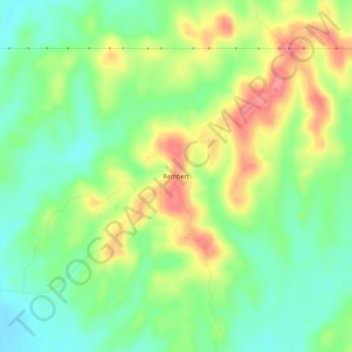
Rembert topographic map
Interactive map
Click on the map to display elevation.
About this map
Name: Rembert topographic map, elevation, terrain.
Location: Rembert, Marengo County, Alabama, USA (32.19792 -87.88973 32.23792 -87.84973)
Average elevation: 64 m
Minimum elevation: 29 m
Maximum elevation: 113 m