
Fort Rouge–East Fort Garry topographic map
Interactive map
Click on the map to display elevation.
About this map
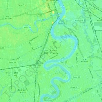
Name: Fort Rouge–East Fort Garry topographic map, elevation, terrain.
Location: Fort Rouge–East Fort Garry, Winnipeg, Manitoba, Canadá (49.82783 -97.16335 49.89528 -97.11267)
Average elevation: 234 m
Minimum elevation: 225 m
Maximum elevation: 249 m