
Omurtag topographic map
Interactive map
Click on the map to display elevation.
About this map
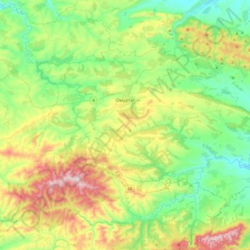
Name: Omurtag topographic map, elevation, terrain.
Location: Omurtag, Targovishte, 7900, Bulgaria (42.98412 26.26297 43.17323 26.66461)
Average elevation: 471 m
Minimum elevation: 203 m
Maximum elevation: 1,042 m
Other topographic maps
Click on a map to view its topography, its elevation and its terrain.