
ዓሪ topographic map
Interactive map
Click on the map to display elevation.
About this map
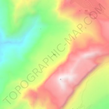
Name: ዓሪ topographic map, elevation, terrain.
Location: ዓሪ, Southern Tigray, Tigré, Éthiopie (12.96751 39.31431 13.00751 39.35431)
Average elevation: 2,267 m
Minimum elevation: 1,786 m
Maximum elevation: 2,709 m
Other topographic maps
Click on a map to view its topography, its elevation and its terrain.
Northern Stelae Field
Northern Stelae Field, Center Market, Aksoum, Central Tigray, Tigré, Éthiopie
Average elevation: 2,199 m
Uaza Plateau
Uaza Plateau, Southern Tigray, Tigré, Éthiopie
Average elevation: 2,303 m
Hawzen Tekle Haymanot Bete
Hawzen Tekle Haymanot Bete, Hawzien, Eastern Tigray, Tigré, Éthiopie
Average elevation: 2,217 m