
Forestry topographic map
Interactive map
Click on the map to display elevation.
About this map
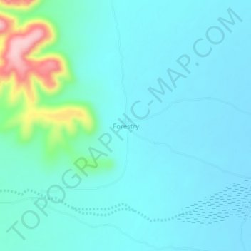
Name: Forestry topographic map, elevation, terrain.
Location: Forestry, Burao District, Togdheer, Somalia (9.66340 45.88648 9.70340 45.92648)
Average elevation: 934 m
Minimum elevation: 904 m
Maximum elevation: 1,096 m
Other topographic maps
Click on a map to view its topography, its elevation and its terrain.
Burao
Somalia > Togdheer > Burao District
Burao, Burao District, Togdheer, Somaliland, Somalia
Average elevation: 1,051 m
Togdheer
Somalia > Togdheer > Burao District
Togdheer, Burao District, Togdheer, Somaliland, Somalia
Average elevation: 930 m