
Aduarderdiep topographic map
Interactive map
Click on the map to display elevation.
About this map
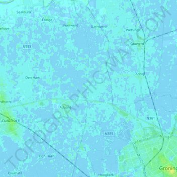
Name: Aduarderdiep topographic map, elevation, terrain.
Location: Aduarderdiep, Den Ham, Westerkwartier, Groningen, Nederland (53.21375 6.46804 53.32075 6.49003)
Average elevation: 1 m
Minimum elevation: -3 m
Maximum elevation: 12 m