
Horn-Lehe topographic map
Interactive map
Click on the map to display elevation.
About this map
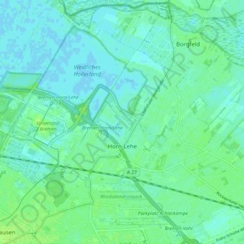
Name: Horn-Lehe topographic map, elevation, terrain.
Location: Horn-Lehe, Stadtbezirk Bremen-Ost, Kuhsiel, Bremen, Deutschland (53.08689 8.81882 53.13055 8.90491)
Average elevation: 4 m
Minimum elevation: -2 m
Maximum elevation: 11 m