
Massonnens topographic map
Interactive map
Click on the map to display elevation.
About this map
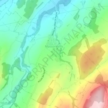
Name: Massonnens topographic map, elevation, terrain.
Location: Massonnens, District de la Glâne, Fribourg, 1692, Suisse (46.68436 6.96082 46.71015 6.99457)
Average elevation: 774 m
Minimum elevation: 671 m
Maximum elevation: 972 m