
La Guajira topographic map
Interactive map
Click on the map to display elevation.
About this map
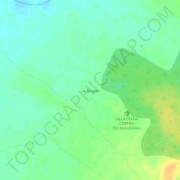
Name: La Guajira topographic map, elevation, terrain.
Location: La Guajira, Becerril, Cesar, Colombia (9.73481 -73.33792 9.77481 -73.29792)
Average elevation: 84 m
Minimum elevation: 73 m
Maximum elevation: 101 m