
Pannerden topographic map
Interactive map
Click on the map to display elevation.
About this map
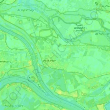
Name: Pannerden topographic map, elevation, terrain.
Location: Pannerden, Zevenaar, Geldern, Niederlande (51.86934 5.98706 51.91696 6.07023)
Average elevation: 12 m
Minimum elevation: 5 m
Maximum elevation: 19 m
Other topographic maps
Click on a map to view its topography, its elevation and its terrain.
Tolkamer
Niederlande > Geldern > Zevenaar
Tolkamer, Zevenaar, Geldern, Niederlande
Average elevation: 13 m