
Edramsberg topographic map
Interactive map
Click on the map to display elevation.
About this map
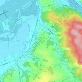
Name: Edramsberg topographic map, elevation, terrain.
Location: Edramsberg, Wilhering, Bezirk Linz-Land, 4073, Austria (48.28497 14.15634 48.32497 14.19634)
Average elevation: 309 m
Minimum elevation: 253 m
Maximum elevation: 461 m
Other topographic maps
Click on a map to view its topography, its elevation and its terrain.