
District 2 topographic map
Interactive map
Click on the map to display elevation.
About this map
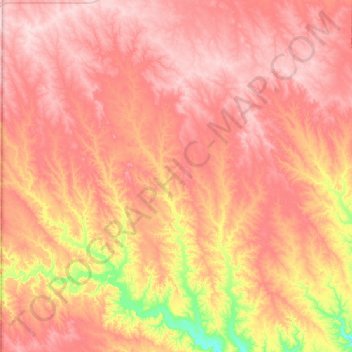
Name: District 2 topographic map, elevation, terrain.
Location: District 2, Ziebach County, South Dakota, United States (44.68756 -102.00250 45.03856 -101.49950)
Average elevation: 710 m
Minimum elevation: 571 m
Maximum elevation: 799 m