
Moscardón topographic map
Interactive map
Click on the map to display elevation.
About this map
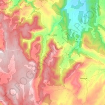
Name: Moscardón topographic map, elevation, terrain.
Location: Moscardón, Teruel, Aragón, España (40.27590 -1.58179 40.36051 -1.51726)
Average elevation: 1,470 m
Minimum elevation: 1,207 m
Maximum elevation: 1,647 m