
Thank you for supporting this site ❤️
Make a donation
Make a donation
Gear up for your next adventure:
As an Amazon Associate, this site earns from qualifying purchases at no extra cost to you.
Changtang topographic map
Click on the map to display elevation.
Thank you for supporting this site ❤️
Make a donation
Make a donation
Gear up for your next adventure:
As an Amazon Associate, this site earns from qualifying purchases at no extra cost to you.
About this map
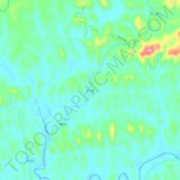
Name: Changtang topographic map, elevation, terrain.
Location: Changtang, Yangjiang, Fenyi County, Xinyu, Jiangxi, China (27.88537 114.51922 27.92537 114.55922)
Average elevation: 98 m
Minimum elevation: 73 m
Maximum elevation: 187 m
Thank you for supporting this site ❤️
Make a donation
Make a donation
Gear up for your next adventure:
As an Amazon Associate, this site earns from qualifying purchases at no extra cost to you.