
Pangolla topographic map
Interactive map
Click on the map to display elevation.
About this map
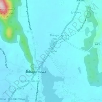
Name: Pangolla topographic map, elevation, terrain.
Average elevation: 150 m
Minimum elevation: 112 m
Maximum elevation: 534 m
Other topographic maps
Click on a map to view its topography, its elevation and its terrain.
Beautiful strange rock formations
Sri Lanka > North Western Province > Kudiramale
Average elevation: 4 m
Wembu Wewa
Sri Lanka > North Western Province > Ihala Puliyankulama > Weheragala
Average elevation: 55 m