
Lunga topographic map
Interactive map
Click on the map to display elevation.
About this map
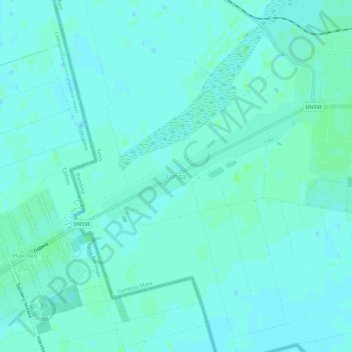
Name: Lunga topographic map, elevation, terrain.
Location: Lunga, Comloșu Mare, Timiș, 307122, Roménia (45.86326 20.57180 45.90326 20.61180)
Average elevation: 82 m
Minimum elevation: 79 m
Maximum elevation: 85 m