
Thank you for supporting this site ❤️
Make a donation
Make a donation
Gear up for your next adventure:
As an Amazon Associate, this site earns from qualifying purchases at no extra cost to you.
Paimitas topographic map
Click on the map to display elevation.
Thank you for supporting this site ❤️
Make a donation
Make a donation
Gear up for your next adventure:
As an Amazon Associate, this site earns from qualifying purchases at no extra cost to you.
About this map
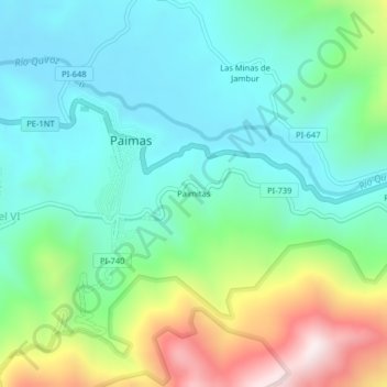
Name: Paimitas topographic map, elevation, terrain.
Location: Paimitas, Paimas, Ayabaca, Piura, Perú (-4.65247 -79.95882 -4.61247 -79.91882)
Average elevation: 726 m
Minimum elevation: 492 m
Maximum elevation: 1,319 m
Thank you for supporting this site ❤️
Make a donation
Make a donation
Gear up for your next adventure:
As an Amazon Associate, this site earns from qualifying purchases at no extra cost to you.