
Chiriqui topographic map
Interactive map
Click on the map to display elevation.
About this map
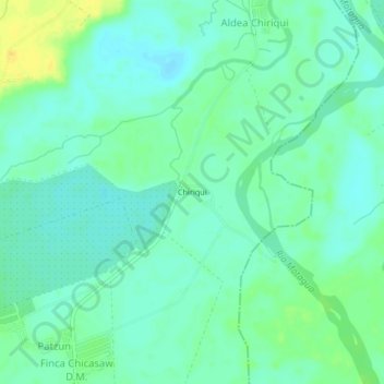
Name: Chiriqui topographic map, elevation, terrain.
Location: Chiriqui, Los Amates, Izabal, Guatemala (15.32803 -88.95234 15.36803 -88.91234)
Average elevation: 51 m
Minimum elevation: 43 m
Maximum elevation: 68 m
Other topographic maps
Click on a map to view its topography, its elevation and its terrain.