Geolocate

Gateway topographic map

Click on the map to display elevation.

About this map

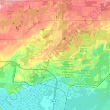
Name: Gateway topographic map, elevation, terrain.

Location: Gateway, Matanuska-Susitna Borough, Alaska, United States (61.53261 -149.34501 61.61459 -149.17257)

Average elevation: 64 m

Minimum elevation: 0 m

Maximum elevation: 150 m

Gear up for your next adventure:

🌂Windproof Trekking Umbrellas - Surprising but effective rain protection on low-wind trails
🧴Sport Sunscreen Sticks - High-protection sunblock that won't run into your eyes on the trail
🕶️Glacier Goggles - Maximum protection for high-altitude snow topography
🧢Waterproof Hiking Hats - Keep the rain off your face while studying topographic maps
🧰Survival Kits - Emergency tools for remote environments

As an Amazon Associate, this site earns from qualifying purchases at no extra cost to you.