
Ayotuxtla topographic map
Interactive map
Click on the map to display elevation.
About this map
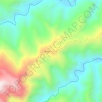
Name: Ayotuxtla topographic map, elevation, terrain.
Location: Ayotuxtla, Texcatepec, Veracruz, Mexique (20.62838 -98.32220 20.66838 -98.28220)
Average elevation: 675 m
Minimum elevation: 347 m
Maximum elevation: 1,314 m
Other topographic maps
Click on a map to view its topography, its elevation and its terrain.