
La Uña topographic map
Interactive map
Click on the map to display elevation.
About this map
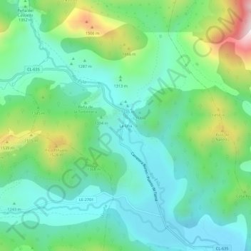
Name: La Uña topographic map, elevation, terrain.
Location: La Uña, Montaña de Riaño, León, Castilla y León, 24996, España (43.04372 -5.15712 43.08372 -5.11712)
Average elevation: 1,305 m
Minimum elevation: 1,141 m
Maximum elevation: 1,744 m