
Dampahala topographic map
Interactive map
Click on the map to display elevation.
About this map
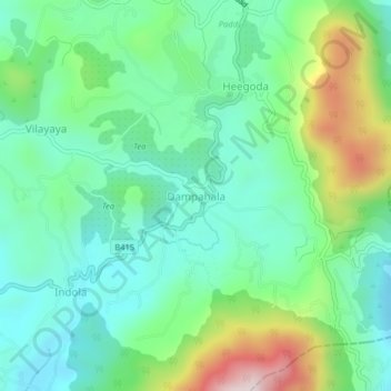
Name: Dampahala topographic map, elevation, terrain.
Location: Dampahala, Matara District, Southern Province, Sri Lanka (6.25236 80.61280 6.29236 80.65280)
Average elevation: 378 m
Minimum elevation: 217 m
Maximum elevation: 778 m