
Lerești topographic map
Interactive map
Click on the map to display elevation.
About this map
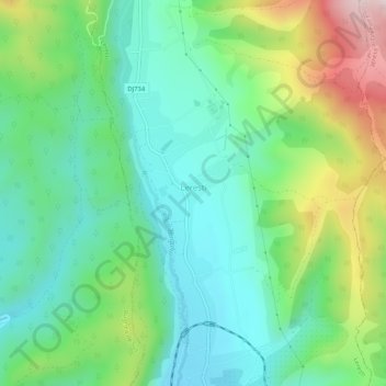
Name: Lerești topographic map, elevation, terrain.
Location: Lerești, Argeș, 117430, Romania (45.31004 25.06209 45.34642 25.08332)
Average elevation: 798 m
Minimum elevation: 656 m
Maximum elevation: 1,124 m