
Sanghar topographic map
Interactive map
Click on the map to display elevation.
About this map
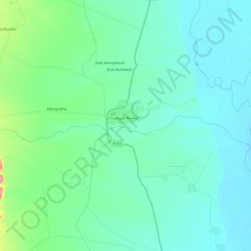
Name: Sanghar topographic map, elevation, terrain.
Location: Sanghar, Layyah, Multān District, Punjab, Pakistan (30.68497 70.52957 30.70755 70.75564)
Average elevation: 168 m
Minimum elevation: 138 m
Maximum elevation: 333 m