
鲁玛江冬错 topographic map
Interactive map
Click on the map to display elevation.
About this map
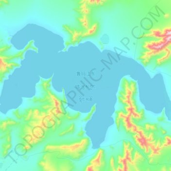
Name: 鲁玛江冬错 topographic map, elevation, terrain.
Location: 鲁玛江冬错, 东汝, 日土县, 阿里地区, 西藏自治区, 中国 (33.90200 81.45344 34.12575 81.82318)
Average elevation: 4,951 m
Minimum elevation: 4,808 m
Maximum elevation: 5,921 m
Other topographic maps
Click on a map to view its topography, its elevation and its terrain.