
Sudeley Castle topographic map
Interactive map
Click on the map to display elevation.
About this map
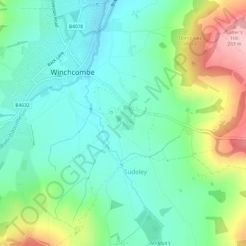
Name: Sudeley Castle topographic map, elevation, terrain.
Average elevation: 135 m
Minimum elevation: 77 m
Maximum elevation: 269 m
His elevation almost certainly came from his assistance in the suppression of the Wyatt rebellion.