
Arroyo Hondo topographic map
Interactive map
Click on the map to display elevation.
About this map
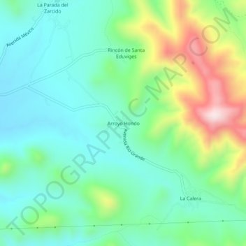
Name: Arroyo Hondo topographic map, elevation, terrain.
Location: Arroyo Hondo, Zaragoza, San Luis Potosí, México (22.04115 -100.70769 22.08115 -100.66769)
Average elevation: 2,169 m
Minimum elevation: 2,026 m
Maximum elevation: 2,526 m