
Cerro Tanaro topographic map
Interactive map
Click on the map to display elevation.
About this map
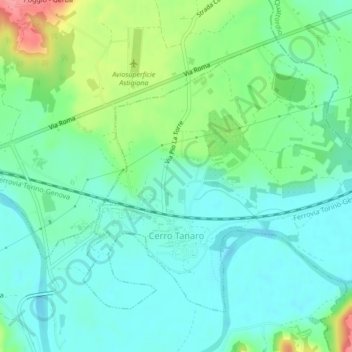
Name: Cerro Tanaro topographic map, elevation, terrain.
Location: Cerro Tanaro, Asti, Piamonte, Italia (44.86578 8.34884 44.88936 8.39179)
Average elevation: 120 m
Minimum elevation: 96 m
Maximum elevation: 183 m