
Mtwara topographic map
Interactive map
Click on the map to display elevation.
About this map
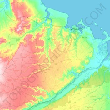
Name: Mtwara topographic map, elevation, terrain.
Location: Mtwara, Coastal Zone, Tanzania (-10.58978 39.68936 -10.12809 40.44539)
Average elevation: 106 m
Minimum elevation: -2 m
Maximum elevation: 349 m
Other topographic maps
Click on a map to view its topography, its elevation and its terrain.