
Fataki topographic map
Interactive map
Click on the map to display elevation.
About this map
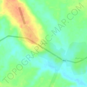
Name: Fataki topographic map, elevation, terrain.
Location: Fataki, Kabambare, Maniema, Democratic Republic of the Congo (-4.22732 27.08585 -4.18732 27.12585)
Average elevation: 643 m
Minimum elevation: 626 m
Maximum elevation: 668 m