
Berryland topographic map
Interactive map
Click on the map to display elevation.
About this map
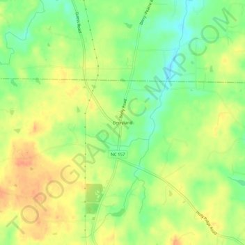
Name: Berryland topographic map, elevation, terrain.
Location: Berryland, Orange County, North Carolina, United States (36.21347 -79.04473 36.25347 -79.00473)
Average elevation: 187 m
Minimum elevation: 164 m
Maximum elevation: 206 m
Other topographic maps
Click on a map to view its topography, its elevation and its terrain.
Historic Occoneechee Speedway
United States > North Carolina > Orange County > Hillsborough
Average elevation: 175 m
Mason Farm Biological Reserve
United States > North Carolina > Orange County > Chapel Hill
Average elevation: 87 m