
Champlin topographic map
Interactive map
Click on the map to display elevation.
About this map
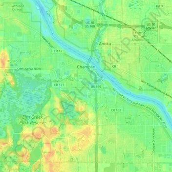
Name: Champlin topographic map, elevation, terrain.
Location: Champlin, Hennepin County, Minnesota, 55316, États-Unis (45.15133 -93.42256 45.21166 -93.32840)
Average elevation: 265 m
Minimum elevation: 251 m
Maximum elevation: 283 m