Geolocate

Cubulcut topographic map

Click on the map to display elevation.

About this map

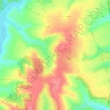
Name: Cubulcut topographic map, elevation, terrain.

Location: Cubulcut, Săcueni, Bihor, 417438, Romania (47.30255 22.16651 47.34255 22.20651)

Average elevation: 172 m

Minimum elevation: 125 m

Maximum elevation: 213 m

Gear up for your next adventure:

👕Technical Hiking Tees - Moisture-management for high-exertion climbs
🥤Hiking Water Bottles - Reusable bottles for hydration on the trail
🦟Anti-Midge & Tick Repellent - Vital for hiking in the Scottish Highlands during summer
🧺Ultralight Dry Bags - Organize and waterproof your gear inside your rucksack
🎒Hiking Daypacks (20L) - Compact backpacks for day trips and technical mountain ascents

As an Amazon Associate, this site earns from qualifying purchases at no extra cost to you.