
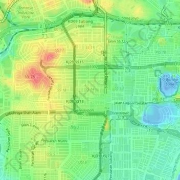
SS14 topographic map
Interactive map
Click on the map to display elevation.
About this map
Name: SS14 topographic map, elevation, terrain.
Location: SS14, Selangor, 47200, Malaysia (3.04807 101.56961 3.08807 101.60961)
Average elevation: 29 m
Minimum elevation: -26 m
Maximum elevation: 70 m