
Bütschwil topographic map
Interactive map
Click on the map to display elevation.
About this map
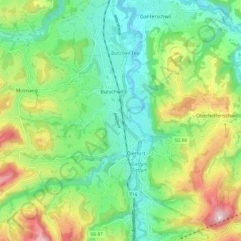
Name: Bütschwil topographic map, elevation, terrain.
Average elevation: 727 m
Minimum elevation: 559 m
Maximum elevation: 1,059 m
Bütschwil, Blick von einer Anhöhe an der Strasse von Ganterschwil nach Oberhelfenschwil