
久米南町 topographic map
Interactive map
Click on the map to display elevation.
About this map
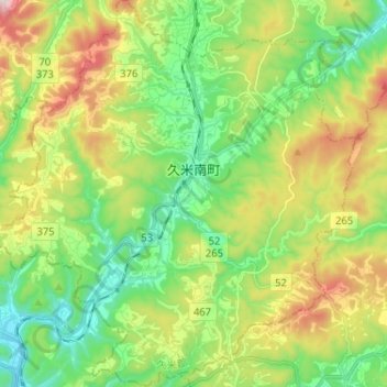
Name: 久米南町 topographic map, elevation, terrain.
Location: 久米南町, 久米郡, 冈山县, 709-3614, 日本 (34.86977 133.89397 34.97539 134.01603)
Average elevation: 266 m
Minimum elevation: 56 m
Maximum elevation: 648 m