
Bazoul topographic map
Interactive map
Click on the map to display elevation.
About this map
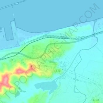
Name: Bazoul topographic map, elevation, terrain.
Location: Bazoul, Taher, Daïra Taher, Jijel, 18002, Algérie (36.79548 5.89638 36.83548 5.93638)
Average elevation: 16 m
Minimum elevation: -2 m
Maximum elevation: 109 m