
Techiman topographic map
Interactive map
Click on the map to display elevation.
About this map
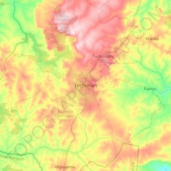
Name: Techiman topographic map, elevation, terrain.
Location: Techiman, Techiman Municipal District, Bono East Region, Ghana (7.42497 -2.09640 7.74497 -1.77640)
Average elevation: 369 m
Minimum elevation: 208 m
Maximum elevation: 547 m