
Potzham topographic map
Interactive map
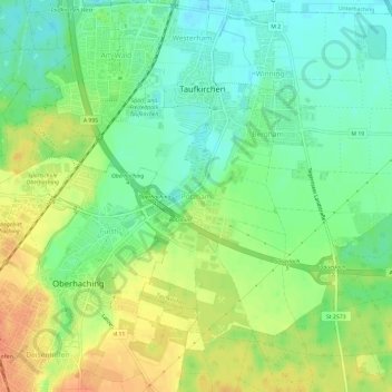
Click on the map to display elevation.
About this map
Name: Potzham topographic map, elevation, terrain.
Average elevation: 574 m
Minimum elevation: 556 m
Maximum elevation: 597 m
Other topographic maps
Click on a map to view its topography, its elevation and its terrain.
Westerham
Deutschland > Bayern > Landkreis München > Taufkirchen
Westerham, Taufkirchen, Landkreis München, Bayern, 82024, Deutschland
Average elevation: 565 m