
Chorfa topographic map
Interactive map
Click on the map to display elevation.
About this map
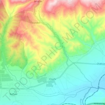
Name: Chorfa topographic map, elevation, terrain.
Location: Chorfa, M'Chedallah District, Bouira, Algeria (36.34854 4.29583 36.40815 4.38768)
Average elevation: 450 m
Minimum elevation: 258 m
Maximum elevation: 821 m
Other topographic maps
Click on a map to view its topography, its elevation and its terrain.