
Tom Hanafan River's Edge Park topographic map
Interactive map
Click on the map to display elevation.
About this map
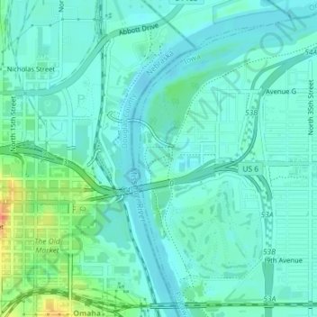
Name: Tom Hanafan River's Edge Park topographic map, elevation, terrain.
Average elevation: 303 m
Minimum elevation: 292 m
Maximum elevation: 343 m