
Río Cruta topographic map
Interactive map
Click on the map to display elevation.
About this map
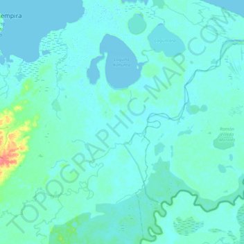
Name: Río Cruta topographic map, elevation, terrain.
Location: Río Cruta, Ramón Villeda Morales, Gracias a Dios, Honduras (14.97257 -83.75218 15.24739 -83.38570)
Average elevation: 4 m
Minimum elevation: -3 m
Maximum elevation: 57 m