
Karasharka topographic map
Interactive map
Click on the map to display elevation.
About this map
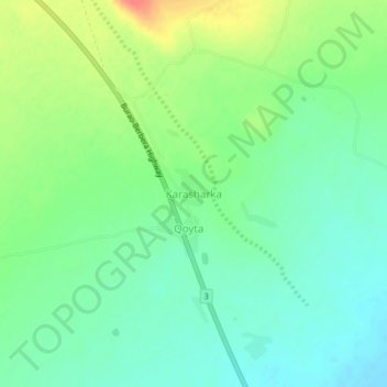
Name: Karasharka topographic map, elevation, terrain.
Location: Karasharka, Burao District, Togdheer, Somalia (9.66646 45.42355 9.70646 45.46355)
Average elevation: 1,142 m
Minimum elevation: 1,123 m
Maximum elevation: 1,178 m