
Madangala topographic map
Interactive map
Click on the map to display elevation.
About this map
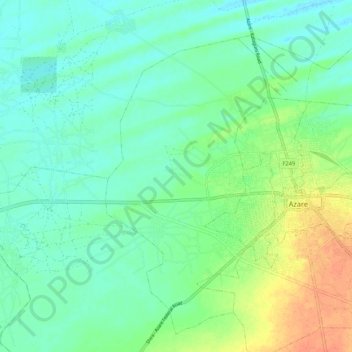
Name: Madangala topographic map, elevation, terrain.
Location: Madangala, Katagum, Bauchi State, Nigeria (11.63419 10.13321 11.72825 10.24004)
Average elevation: 401 m
Minimum elevation: 388 m
Maximum elevation: 427 m