
Akamanyana topographic map
Interactive map
Click on the map to display elevation.
About this map
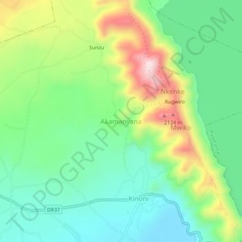
Name: Akamanyana topographic map, elevation, terrain.
Location: Akamanyana, Kinoni, Burera District, Northern Province, Rwanda (-1.47526 29.71676 -1.43526 29.75676)
Average elevation: 1,897 m
Minimum elevation: 1,755 m
Maximum elevation: 2,175 m
Other topographic maps
Click on a map to view its topography, its elevation and its terrain.