
Mount Trumbull Wilderness Area topographic map
Interactive map
Click on the map to display elevation.
About this map
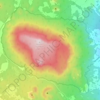
Name: Mount Trumbull Wilderness Area topographic map, elevation, terrain.
Average elevation: 1,973 m
Minimum elevation: 1,633 m
Maximum elevation: 2,442 m