
生野区 topographic map
Interactive map
Click on the map to display elevation.
About this map
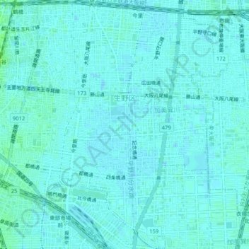
Name: 生野区 topographic map, elevation, terrain.
Location: 生野区, Osaka, Prefectura de Osaka, Japón (34.63319 135.52439 34.66563 135.56402)
Average elevation: 8 m
Minimum elevation: 5 m
Maximum elevation: 15 m