
Steinhof topographic map
Interactive map
Click on the map to display elevation.
Steinhof
Die Muttergotteskapelle am südlichen Dorfrand wurde 1720 erbaut und 1970 letztmals restauriert. Steinhof gehört zur Pfarrei Aeschi (SO). Auf der Höhe südlich des Dorfes befindet sich der Findling Grosse Fluh.
About this map
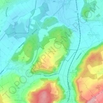
Name: Steinhof topographic map, elevation, terrain.
Average elevation: 515 m
Minimum elevation: 462 m
Maximum elevation: 653 m