
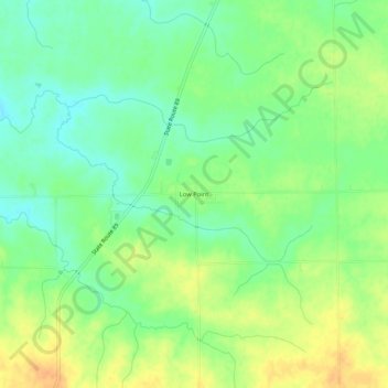
Low Point topographic map
Interactive map
Click on the map to display elevation.
About this map
Name: Low Point topographic map, elevation, terrain.
Location: Low Point, Woodford County, Illinois, 61545, United States (40.85254 -89.33342 40.89254 -89.29342)
Average elevation: 220 m
Minimum elevation: 204 m
Maximum elevation: 239 m
Other topographic maps
Click on a map to view its topography, its elevation and its terrain.
El Paso
United States > Illinois > Woodford County > El Paso
El Paso, Woodford County, Illinois, 61738, United States
Average elevation: 222 m