
Valmeyer topographic map
Interactive map
Click on the map to display elevation.
About this map
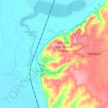
Name: Valmeyer topographic map, elevation, terrain.
Location: Valmeyer, Monroe County, Illinois, Estados Unidos da América (38.28992 -90.32425 38.32090 -90.26094)
Average elevation: 161 m
Minimum elevation: 117 m
Maximum elevation: 245 m